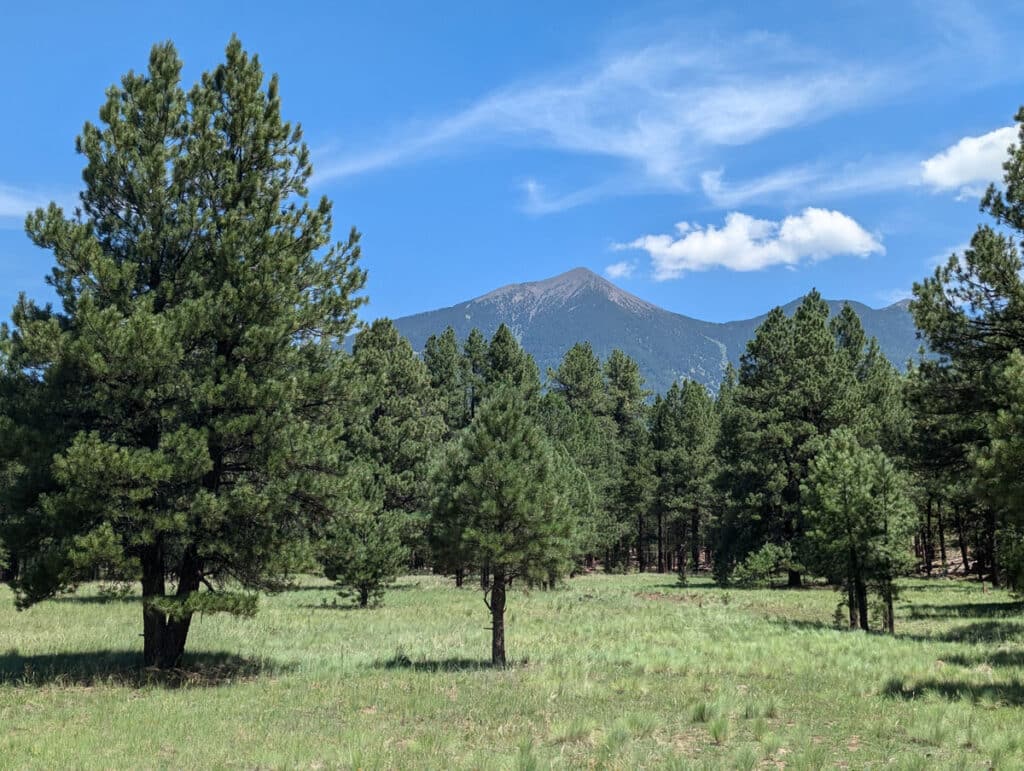
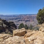
The best route from Flagstaff to the Grand Canyon is via the US-180W, not the I-40W via Williams. It might take a few minutes longer, but the San Francisco Peaks scenery makes up for it.
Using Flagstaff as a gateway to the Grand Canyon
The Arizona city of Flagstaff is often seen as a gateway to the Grand Canyon. Personally, I think this is a mistake – it’s too far away, and after a day exploring the Canyon, the drive back to Flagstaff can be exhausting.
Flagstaff is an appealing city in its own right if you’re doing a self-drive holiday across the South-West. It also morphs into a ski town in winter.
That said, Grand Canyon day tours do operate from Flagstaff, and you can self-drive to the South Rim and back in a day.
If you’re going to attempt this drive or, better still, stay in Flagstaff before heading to accommodation in Tusayan or Grand Canyon Village, there are two main routes you can take.
Flagstaff to the Grand Canyon via Williams
The quickest route is (usually) along the I-40W and AZ-64N via Williams. This route from Flagstaff to Grand Canyon Village is 87 miles long and takes around an hour and a half.
The route from Flagstaff to the Grand Canyon South Rim via Williams, home of the Grand Canyon Railway, has its merits. Williams has delightfully hokey Old West vibe, and is home to Bearizona – arguably the best place to see bears in Arizona.
Flagstaff to the Grand Canyon via the US-180W
But there is a shorter, far more delightful route, taking the US-180W before joining the AZ-64N at Grand Canyon Junction. This is 79 miles long and usually takes around five minutes longer.
The US-180W from Flagstaff to Grand Canyon Junction passes through the San Francisco Peaks, the highest mountains in Arizona. There are also a few good stops along the way.
The Museum of Northern Arizona
The first is the Museum of Northern Arizona, three miles to the north of Downtown Flagstaff. This surprisingly long-standing museum does a fine job of explaining the region’s geology and human history, with strong emphasis on the Native American peoples who have called northern Arizona home for thousands of years.
Humphrey Peak Lookout
You then pass the Arizona Snowbowl – the state’s primary ski resort – before reaching the Humphrey Peak Lookout. This is essentially just a small roadside car park, but it offers splendid views of the near-triangular Humphrey Peak. At 12,633ft, it’s the highest mountain in Arizona.

Kendrick Park Watchable Wildlife Trail
The drive along US-180W then weaves through the glorious pines of Coconino State Forest. There are several hiking trailheads accessible from the road, but for the casual visitor will likely be more interested in the Kendrick Park Watchable Wildlife Trail. It’s actually two trails – a quarter-mile wheelchair-accessible version and a one-and-a-half-mile alternative.
Whichever wildlife trail you take, there’s a decent chance of seeing mule deer, elk, Abert’s squirrels and porcupines.
Other things to do in Flagstaff
Flagstaff can also be used as a base for day tours to Antelope Canyon and Horseshoe Bend, Sedona’s red rock country or Monument Valley. More fun in the city itself are the Downtown haunted history tours.
More Arizona travel
For more things to do in Arizona, head here.
Other articles about Arizona on Planet Whitley include:
- Driving across London Bridge in… Lake Havasu City.
- Should I do a Grand Canyon day tour from Sedona?
- How scary is the Grand Canyon Skywalk?
- Where to see bears in Arizona.
- Red Rock Crossing in Sedona – nature’s greatest swimming pool?
- How to drive Hermit Road at the Grand Canyon without taking the shuttle bus.
Disclosure: There are affiliate links within this article. If you buy a product after clicking through on these links, I will earn a small commission at no extra cost to yourself.
